HistoryGeo database aids genealogical and local history research
Information and photo provided by Douglas County Libraries; photo courtesy of Hutch Tibbetts
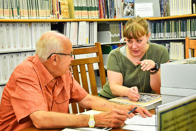
Castle Pines Connection staff writer Joe Gschwendtner works with Douglas County Libraries Archivist Alyssa Carver on historical research for his Wildcat Lore segment.
The archives and local history department at Douglas County Libraries (DCL) is excited to launch HistoryGeo, an interactive database for mapping land patent recipients, Douglas County historic sites, and other resources that can aid genealogical and local history research. HistoryGeo is conveniently available to customers remotely as well as from any DCL location with the use of a library card.
Through HistoryGeo, users can search by surnames, geographical features, place names, or latitude and longitude. Search results are displayed on interactive maps with modern street overlays, and results are linked to Bureau of Land Management records, Google maps, and DCL archives and local history materials. A growing list of local history markers are available to aid research into Douglas County historical sites.
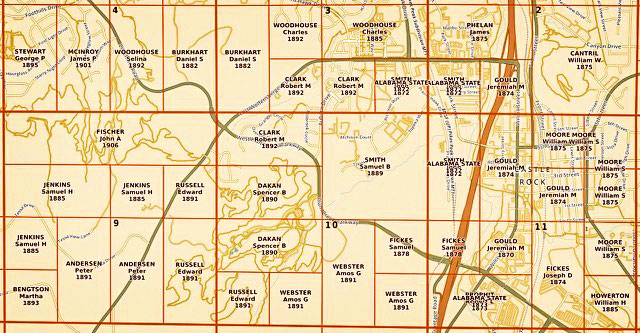
This section of map in Douglas County shows a breakdown of land parcels, owners and years purchased.
Visit DCL.org/research/all-databases to connect to this unique and free resource.
For more information, email localhistory@dclibraries.org or call DCL’s archives and local history department at 303-688-7730.